Yaletown, a vibrant neighbourhood in downtown Vancouver, has a rich history that traces back to the late 19th century. Originally an industrial district and rail yard for the Canadian Pacific Railway (CPR), it was named after Yale, a small town in British Columbia, where many railway workers originated. The town was originally found in the Fraser Canyon, and the CPR’s repair shops and construction equipment were located there. When the CPR moved everything to its western terminus in Vancouver, the name went with it. Yaletown was born!
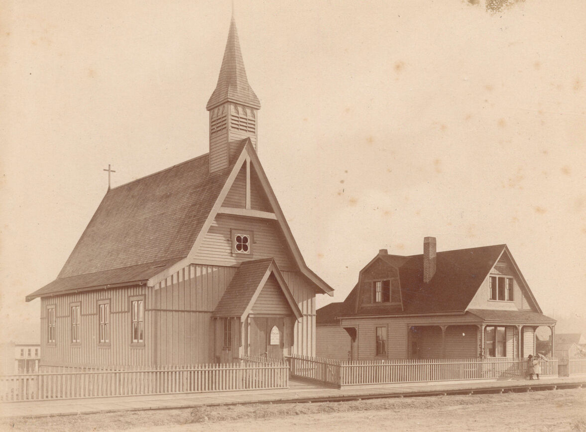
1889 – The first St. Paul’s Church and vicarage – 1222 to 1226 Hornby Street.
For decades, Yaletown remained a hub of warehouses and industry until the area underwent significant redevelopment in the 1980s and 1990s following Expo 86. Today, it stands as one of Vancouver’s trendiest neighbourhoods, known for its chic lofts, upscale restaurants, and scenic waterfront parks.
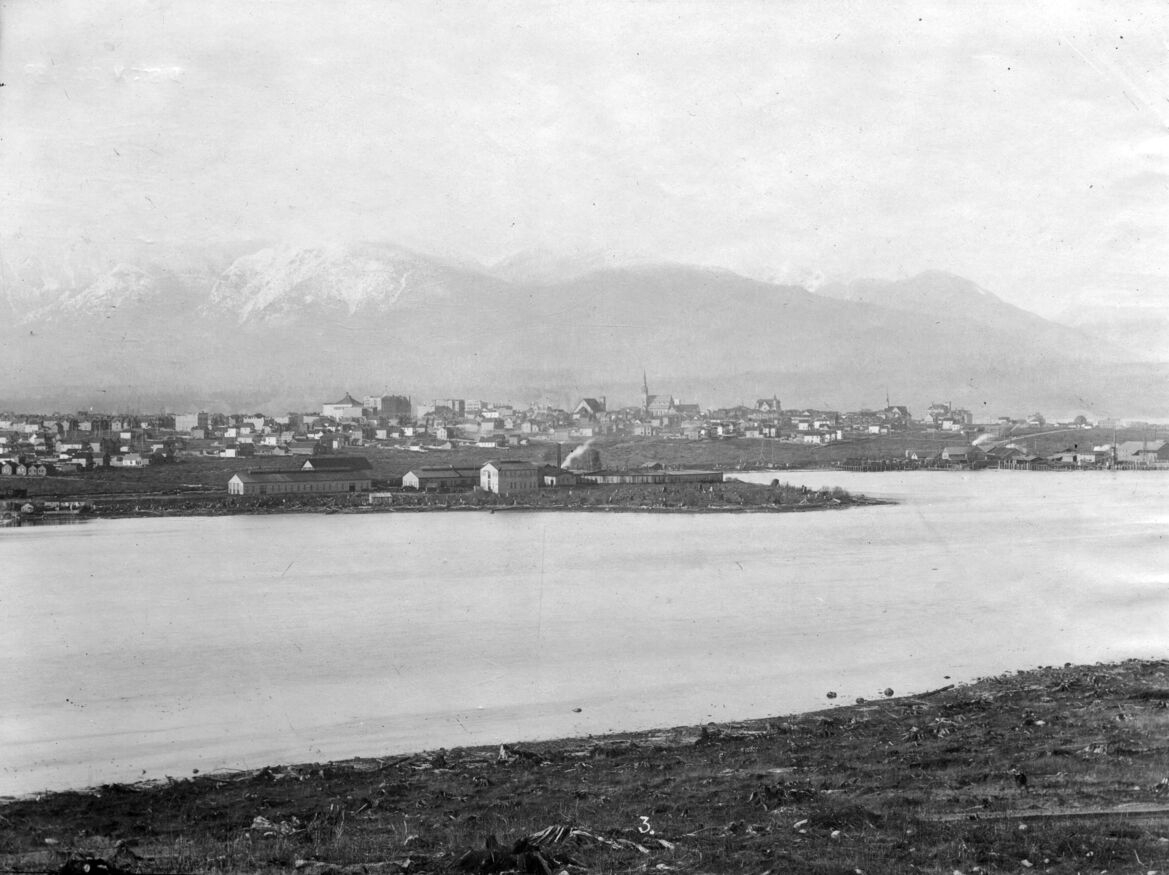
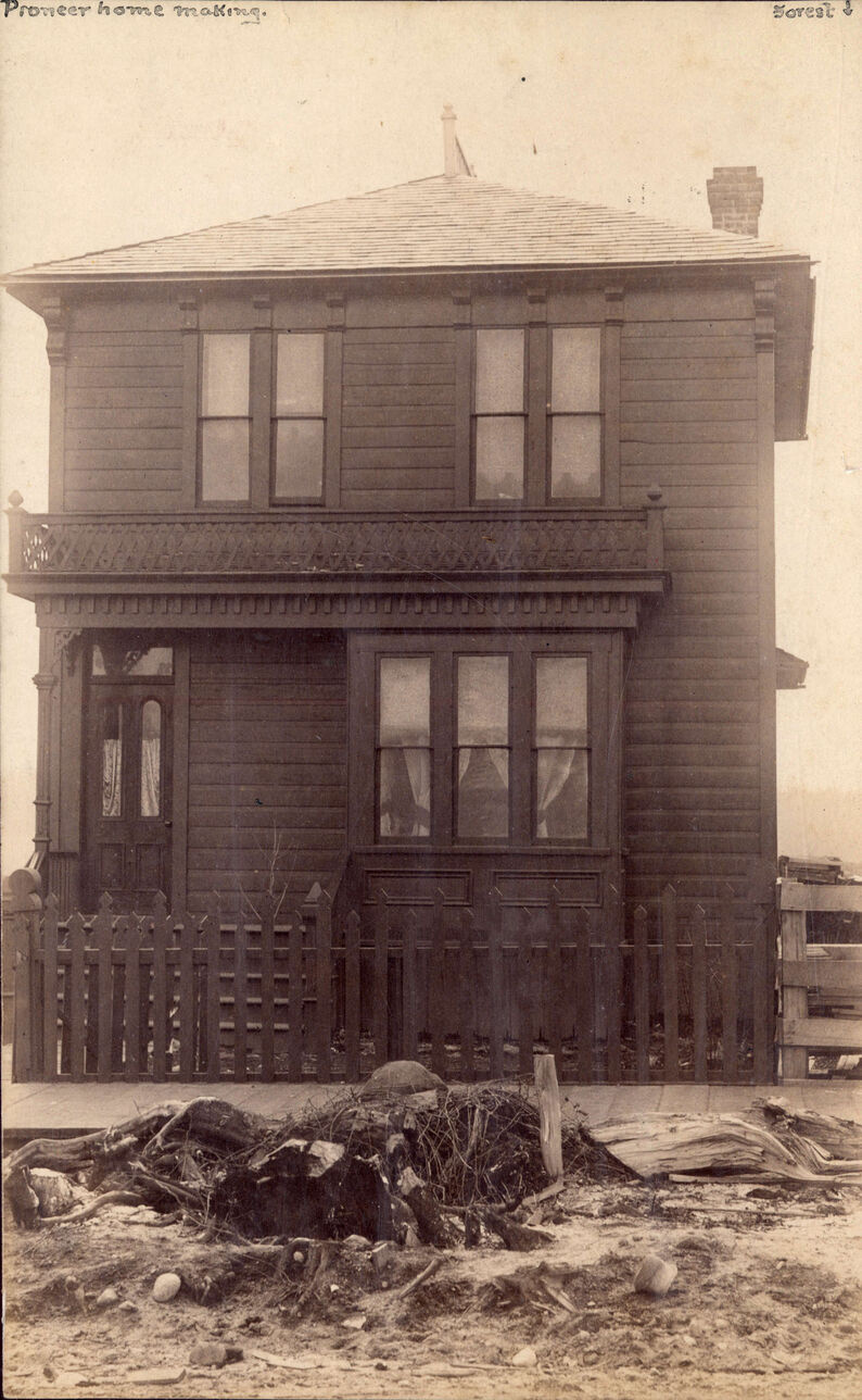
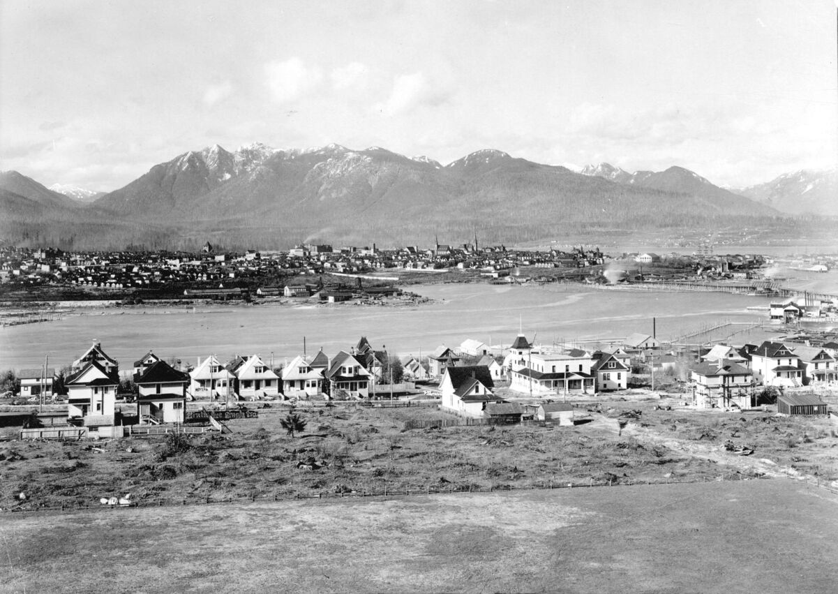
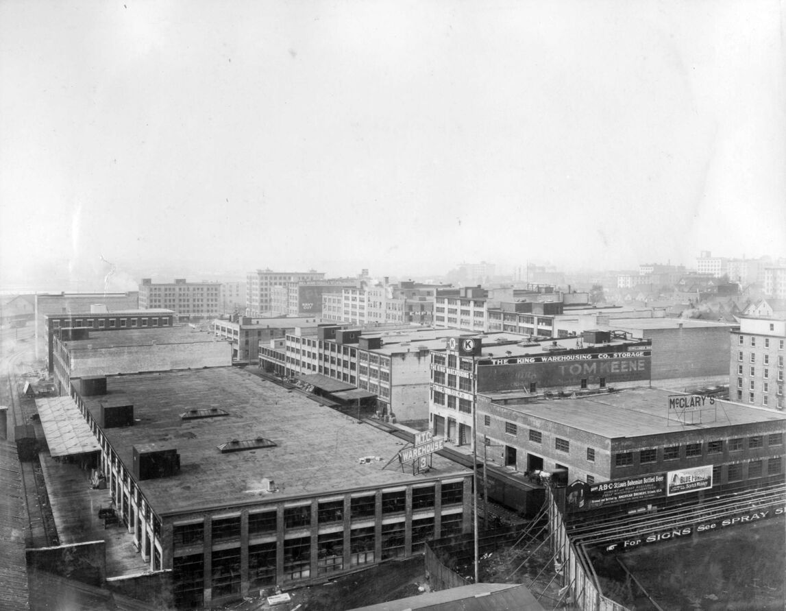
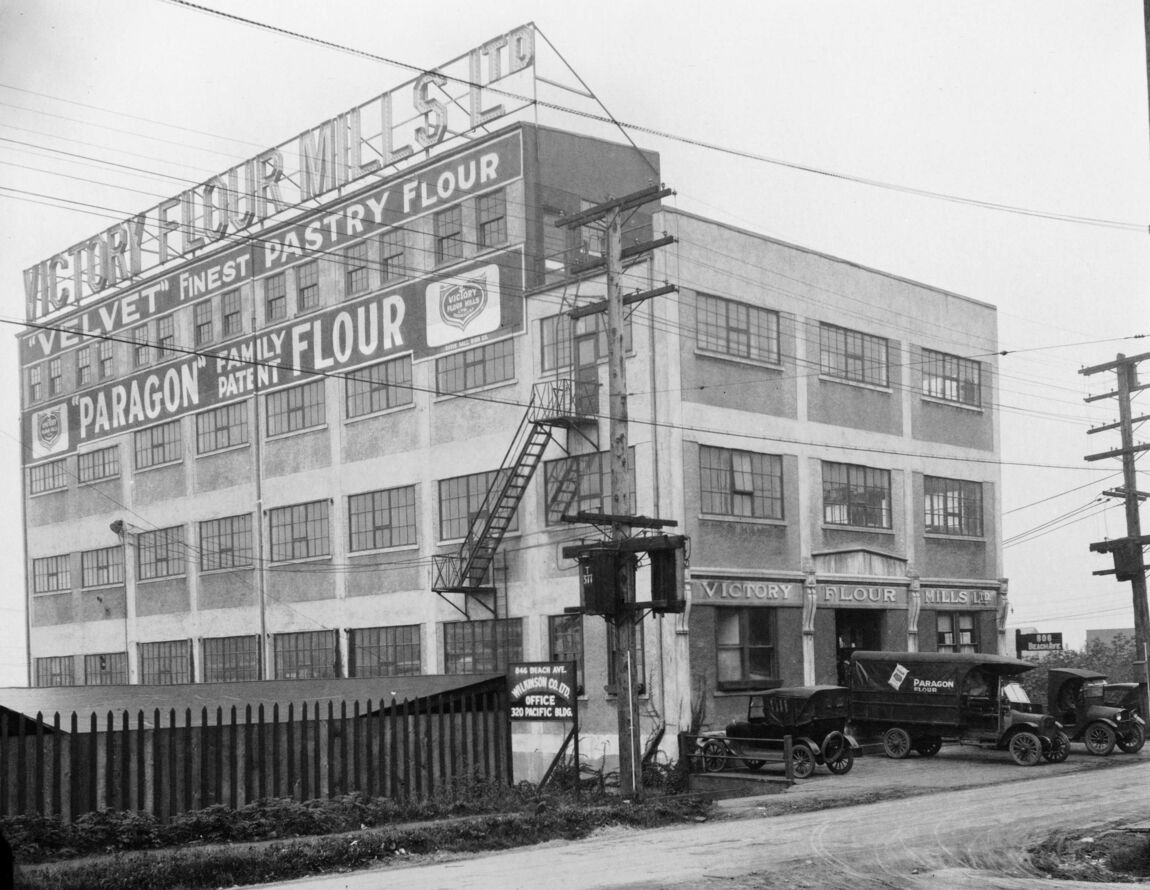
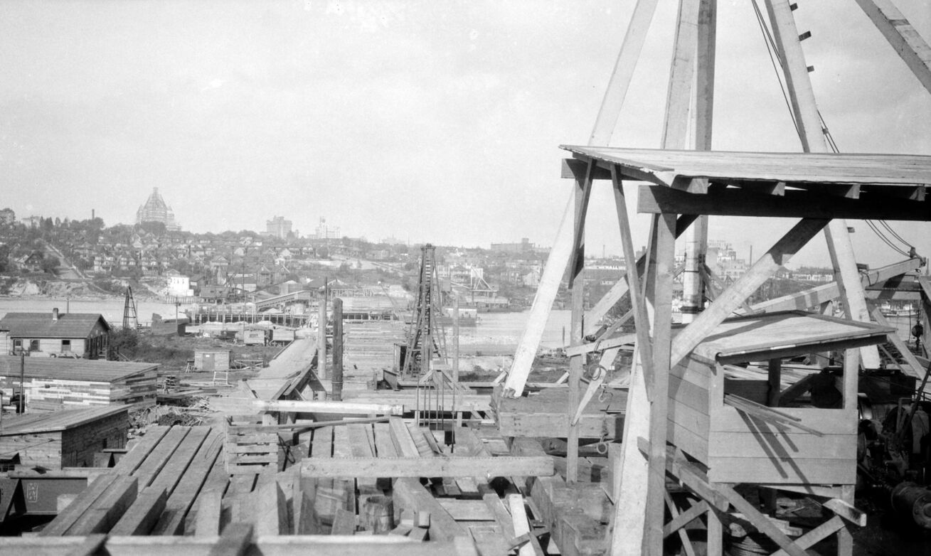
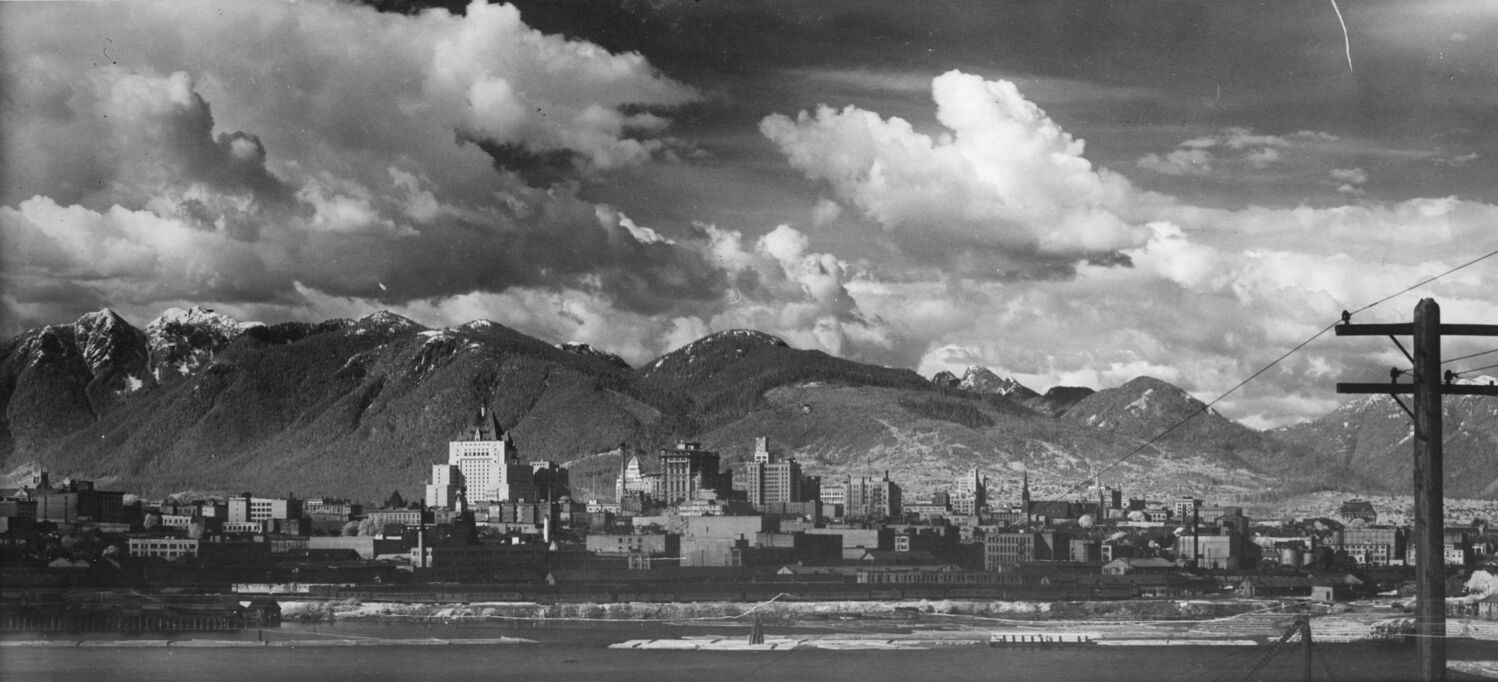
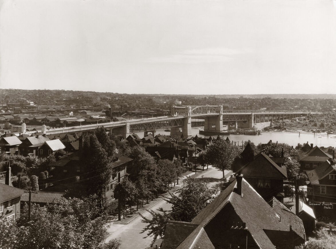
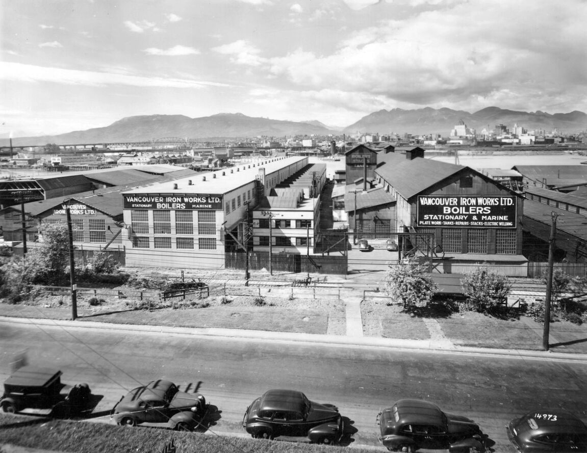
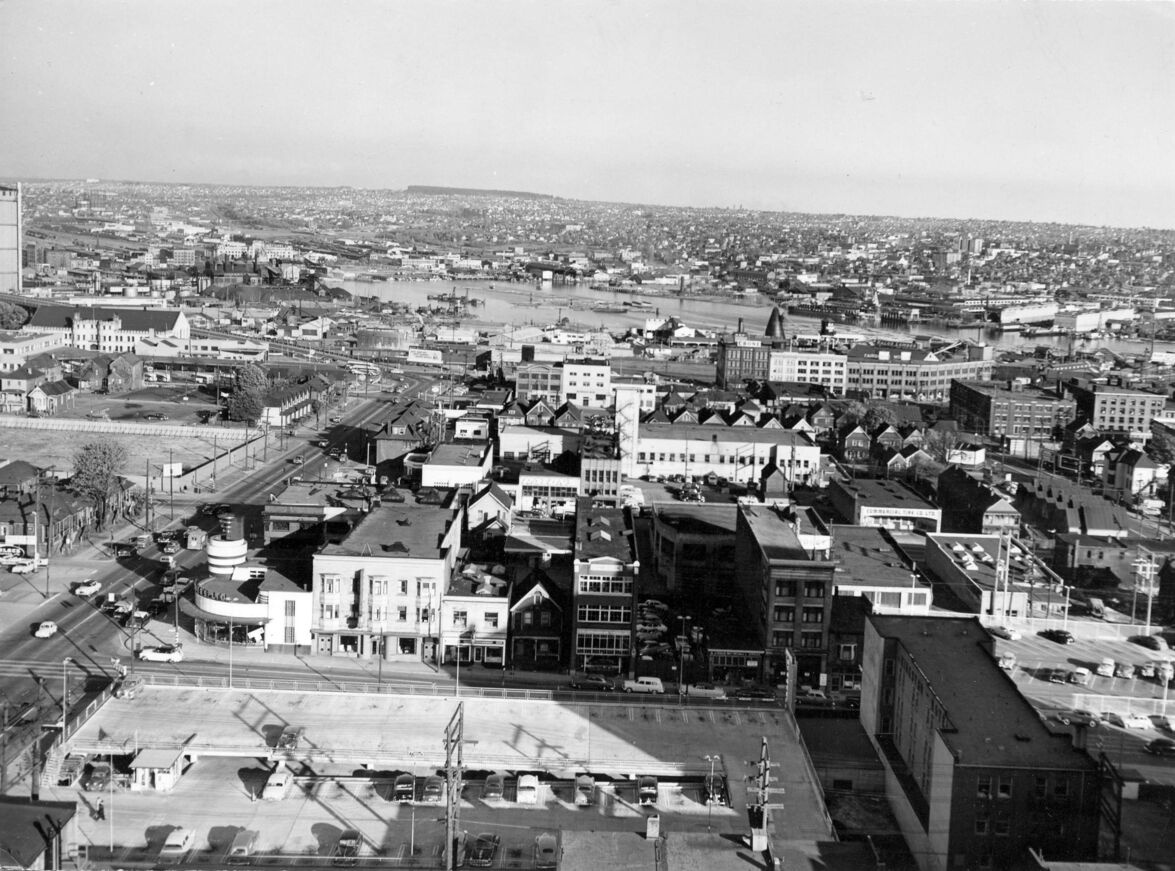
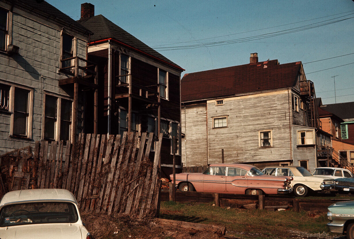
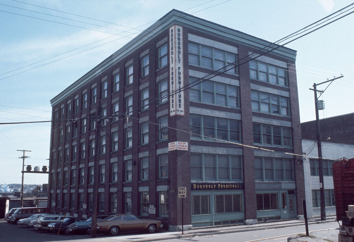
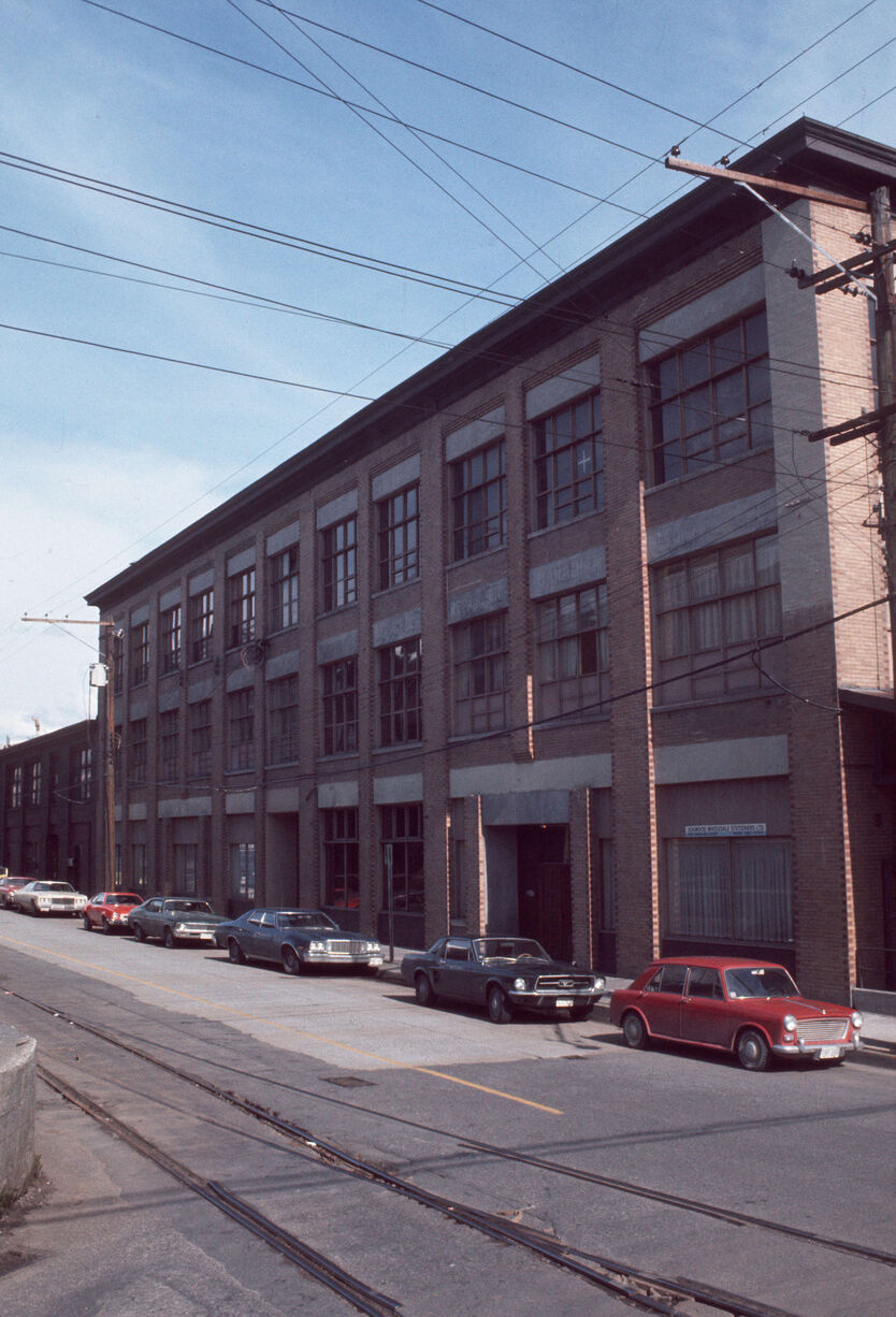
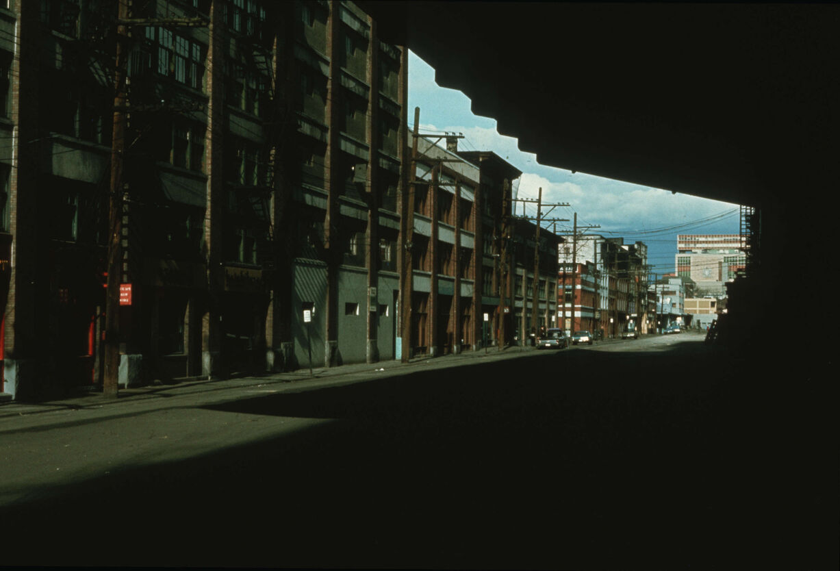
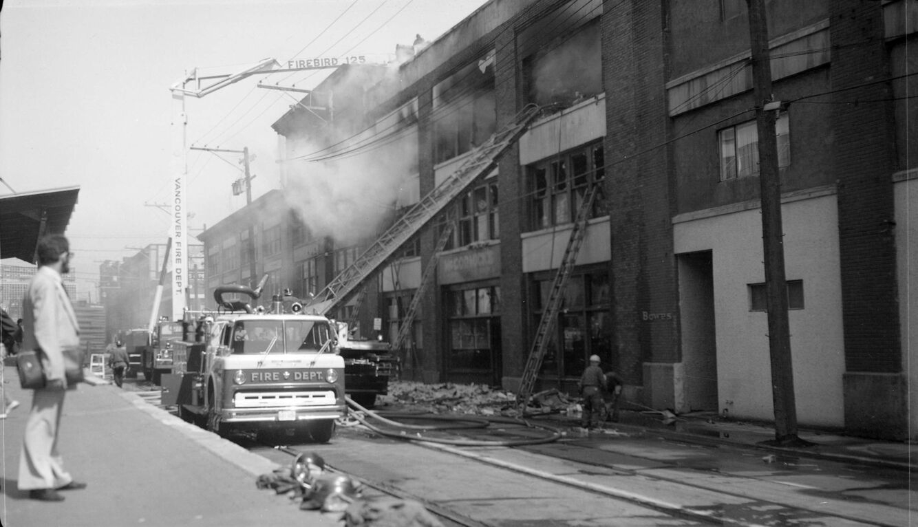
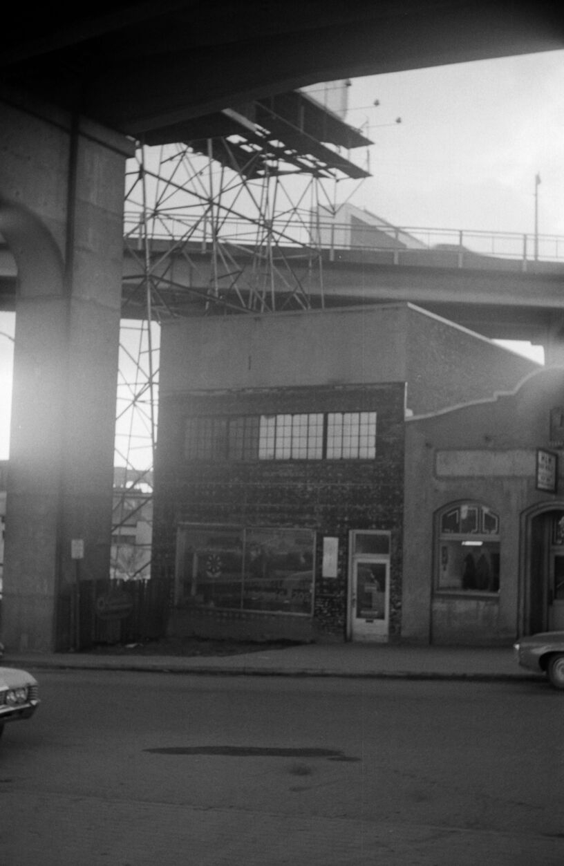
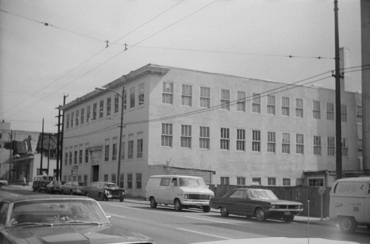
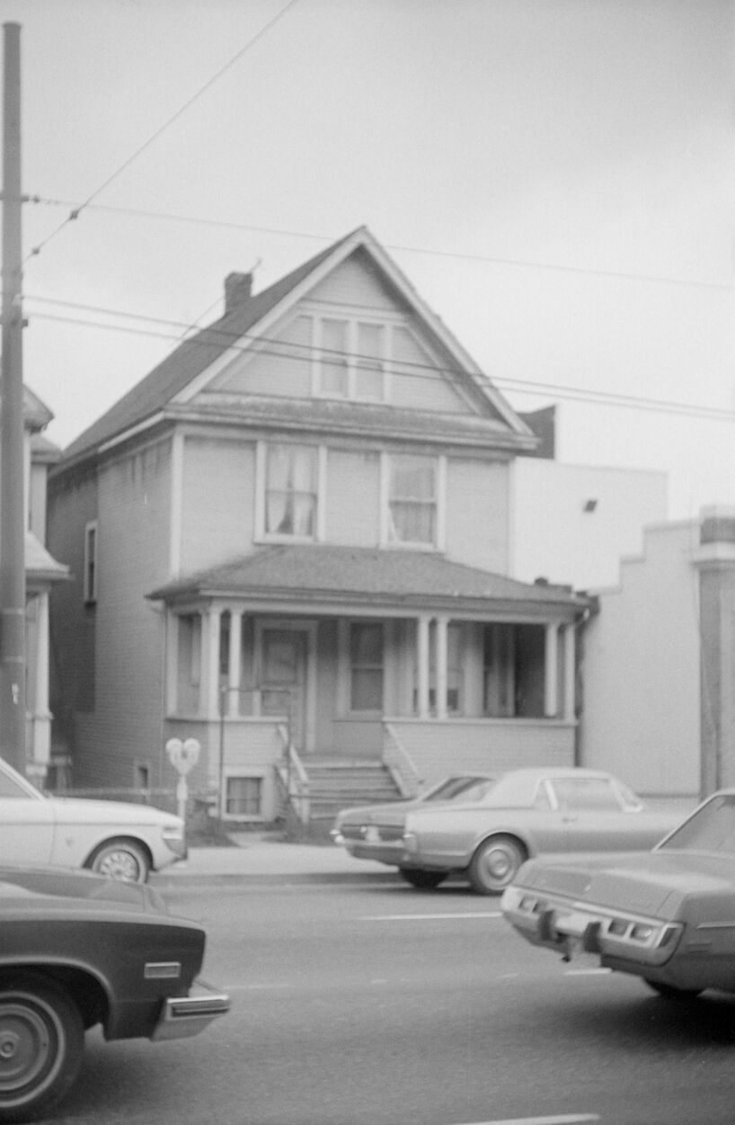
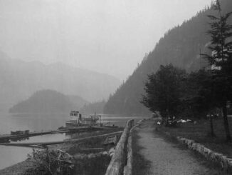
1893 – View of Yaletown from Fairview. Photograph shows the C.P.R. roundhouse and shops.1899 – Exterior of house – 1344 Seymour Street.1905 – Northern view from the tower of King Edward High School on 12th Avenue and Oak Street. Photograph shows part of Fairview and False Creek, the Connaught Bridge and Yaletown in the background.191-? – Warehouses.1923 – Victory Flour Mills Ltd.1930 – Northern view of the Burrard Bridge under construction. Photograph shows southern sections of the West End and Yaletown, the old and new Hotel Vancouver and the Vancouver block in the background.1932-1948 – Photograph shows Hotel Vancouver (900 West Georgia), Marine Building, Hotel Vancouver, Vancouver Block, CPR Yards, Yaletown Warehouses, False Creek and Northshore Mountains.1935 – View of the Burrard Bridge from Pacific Street near Thurlow Street. Photograph shows a view looking southeast including industrial buildings in Yaletown and squatters shacks on the water at the southwest end of the bridge.1943 – Exterior of Vancouver Iron Works Limited. Photograph shows the Burrard Bridge, Yaletown and Downtown in the background.195-? – Aerial view looking south-east from Georgia and Richards Streets. Photograph shows Beatty Street Armoury, houses and buildings in Yaletown and False Creek.1966 – Rear view of houses along Hamilton Street between Smithe Street and Robson Street.197-? – Borsholt Furniture.197-? – Building at 1080 Mainland Street.1970 – 1100 block Homer, warehouses.1973 – New Fire Engine, Firebird 125, in action.1974 – Photograph depicts a road with an unidentified building located beneath the north end of the Granville Street Bridge.1974 – South Cambie Street.1974 – Photograph depicts an exterior view of a house, likely located on the 800 block of Richards St.
The photos above were collected from the City of Vancouver Archives. If you’re interested, additional information can be found for each photograph on their website. Stay tuned for additional posts featuring historical photos from Vancouver, British Columbia, and across Western Canada. We’d love to know what you think in the comment section below.
After browsing the Vancouver archives for our previous history post on Old Photographs of Cars in Vancouver from 1900-1920, I thought I would do a similar post with boats. As there were so many amazing […]
In Vancouver there is a bookstore to suit every bibliophile, whether you prefer treasure-hunting through a stack of titles, picking up a copy of an old favourite, or getting a recommendation from a trusted staff […]
The Museum of Anthropology’s (MOA) newest exhibit, Xicanx: Dreamers + Changemakers / Soñadores + creadores del cambio is now open until January 1, 2023. We had the opportunity to tour the exhibit with co-curators Jill […]