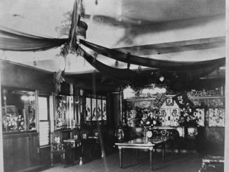
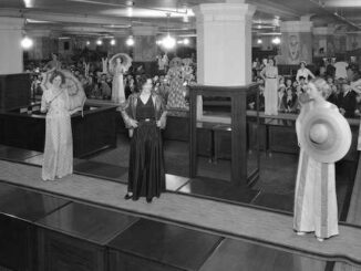
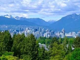
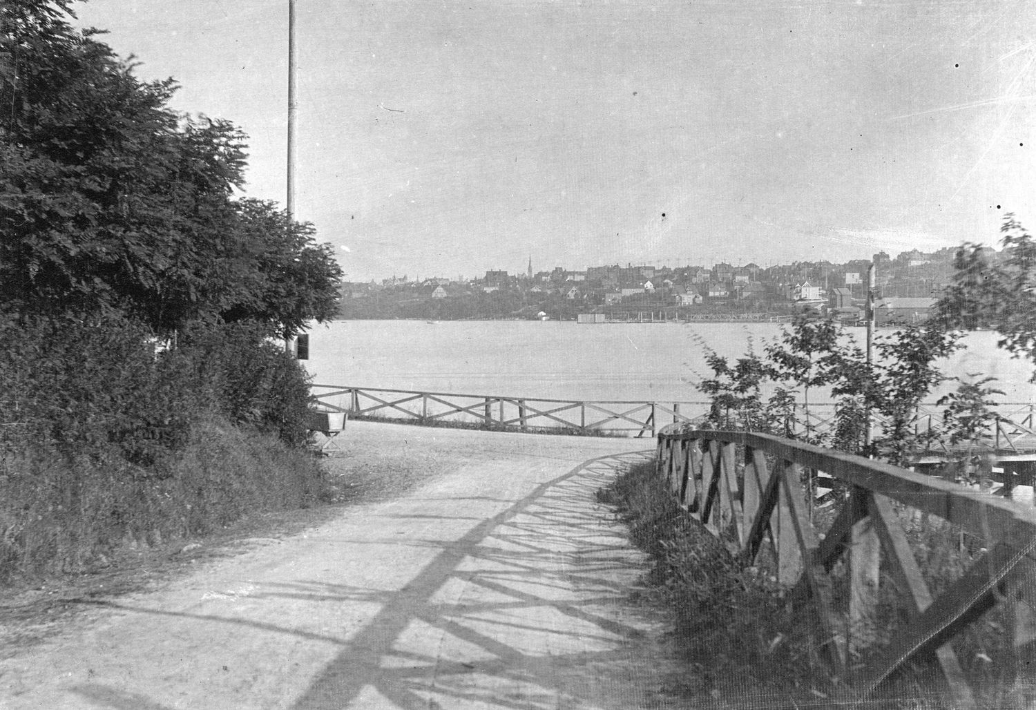
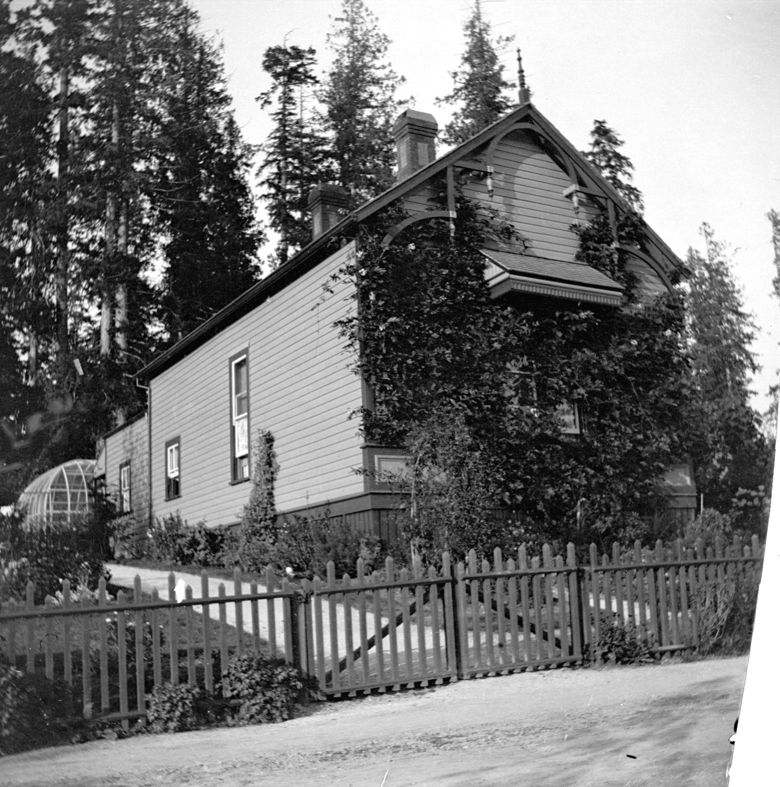
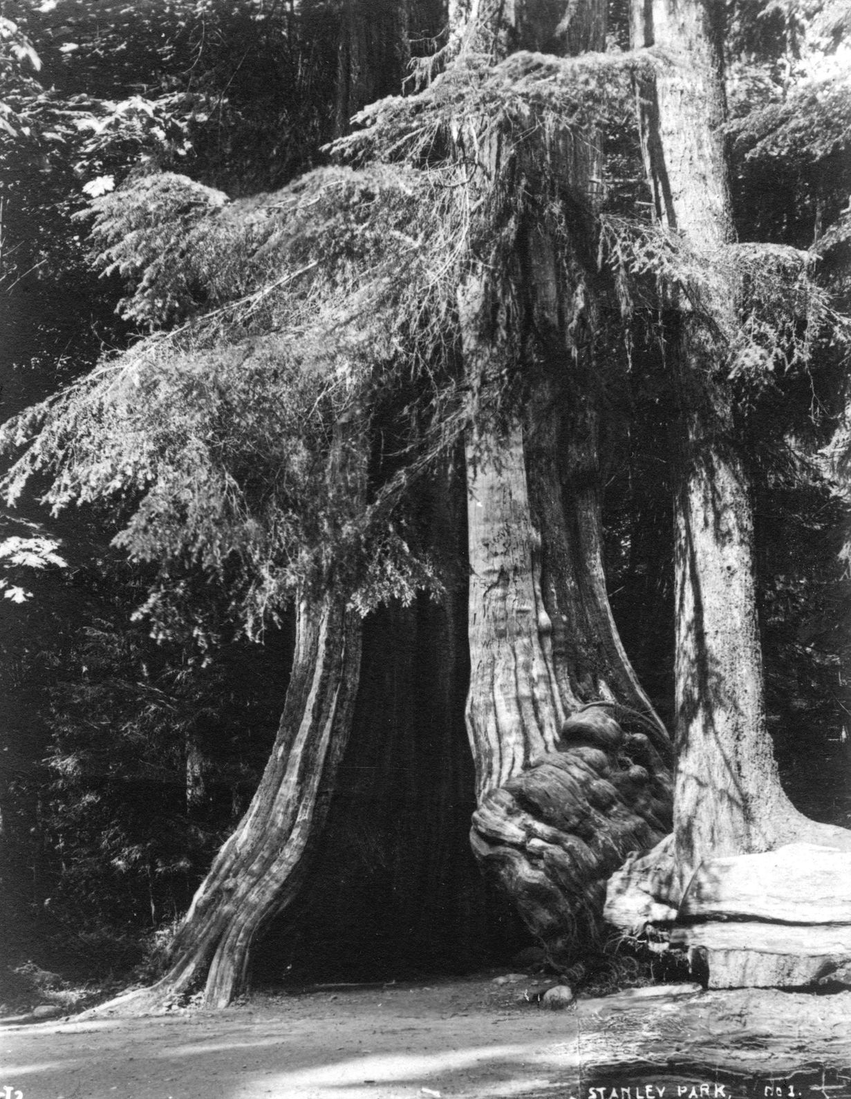
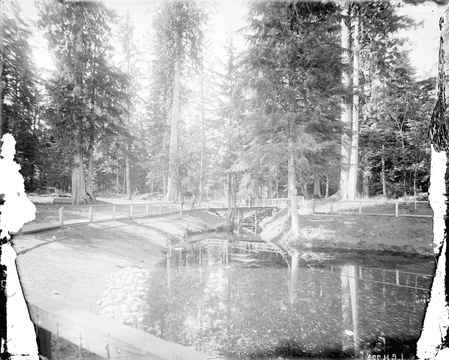
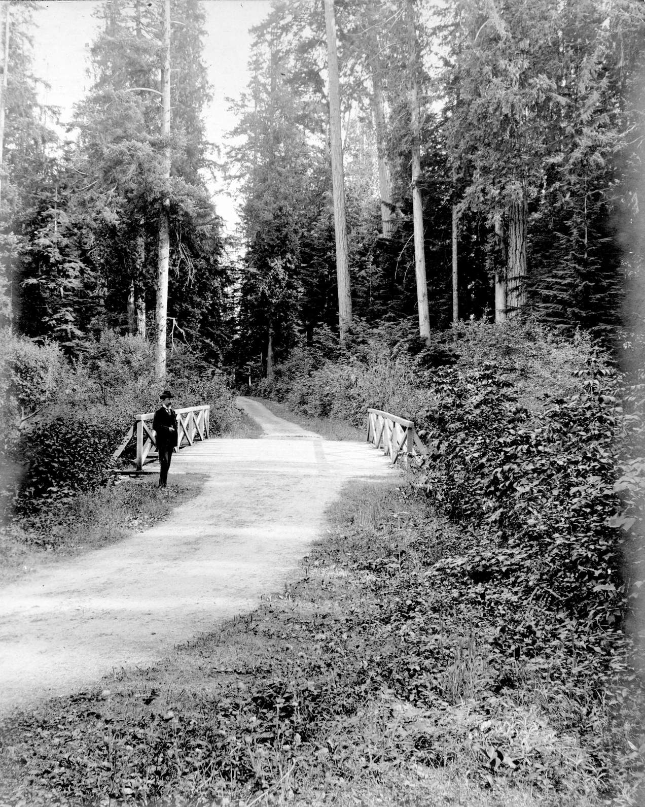
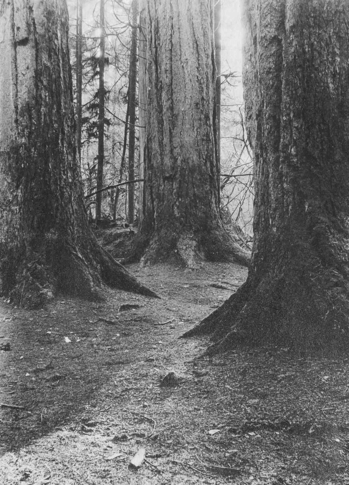
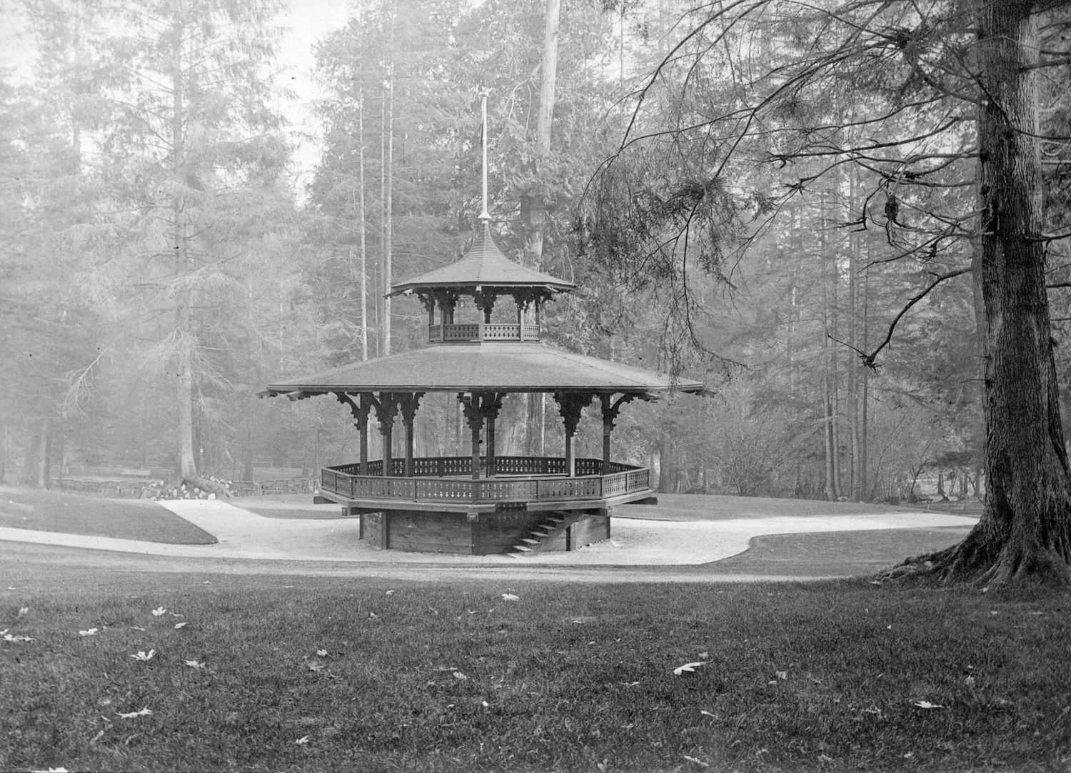
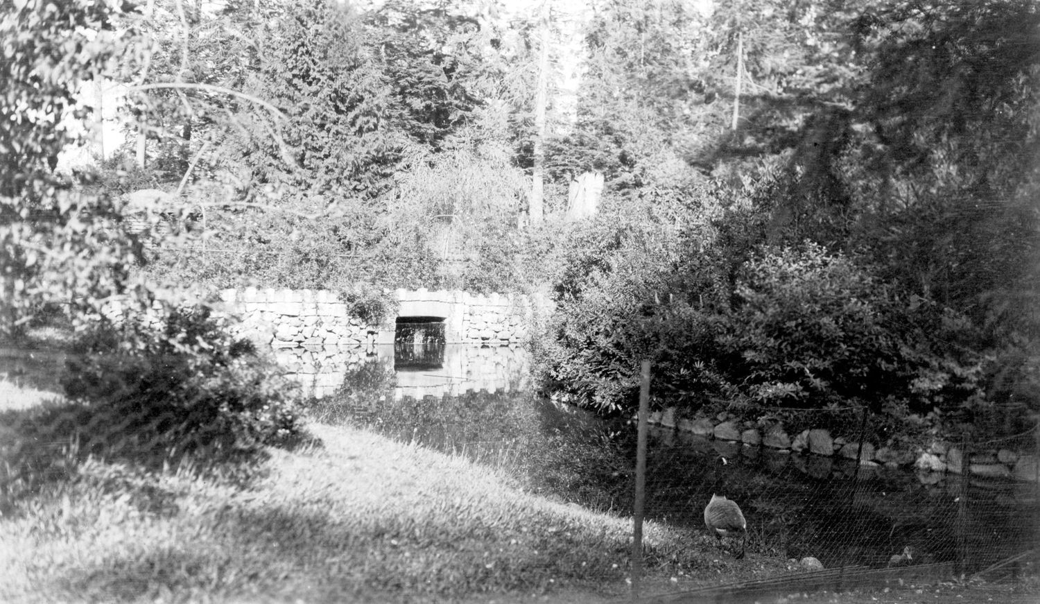
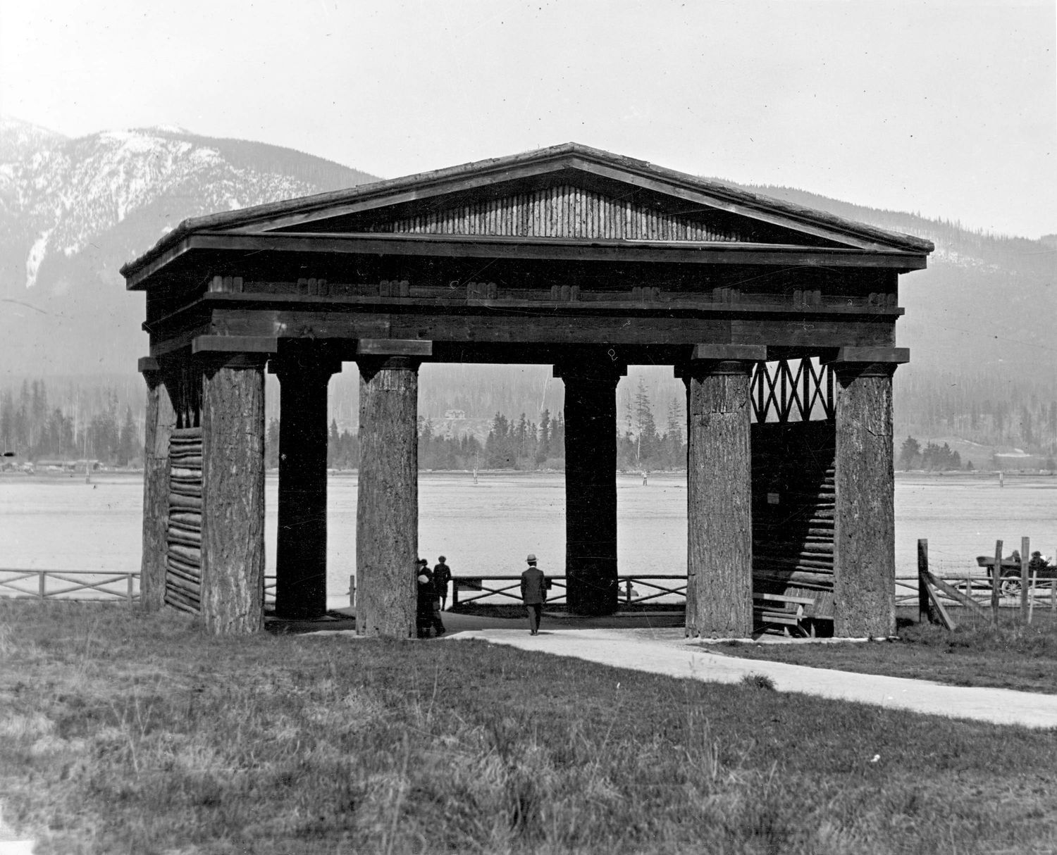
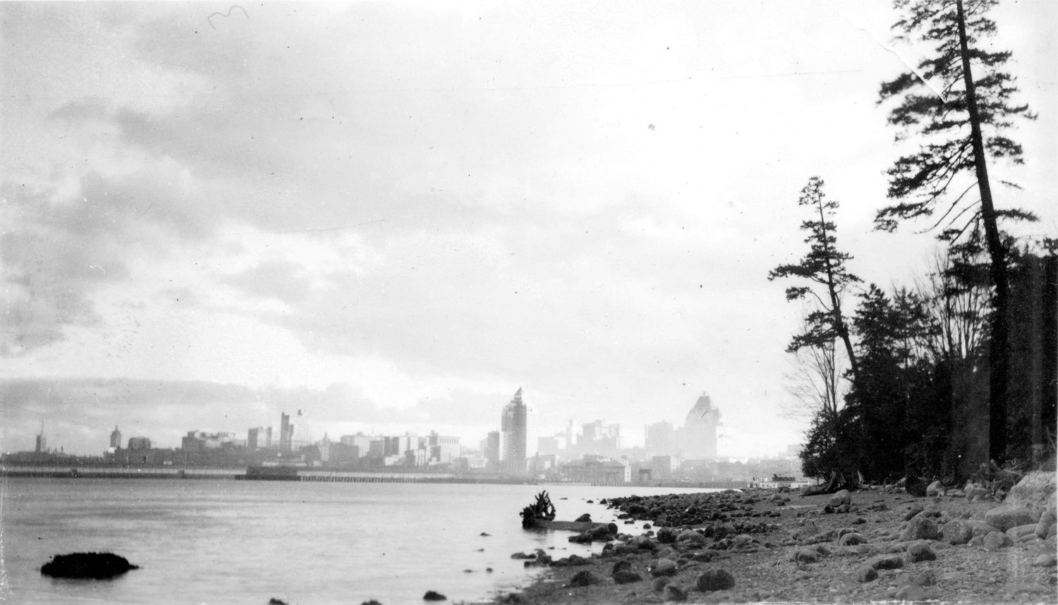
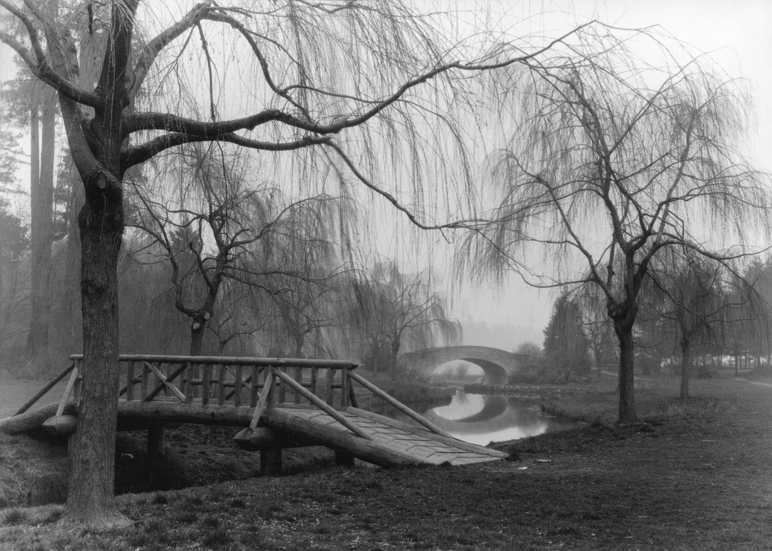
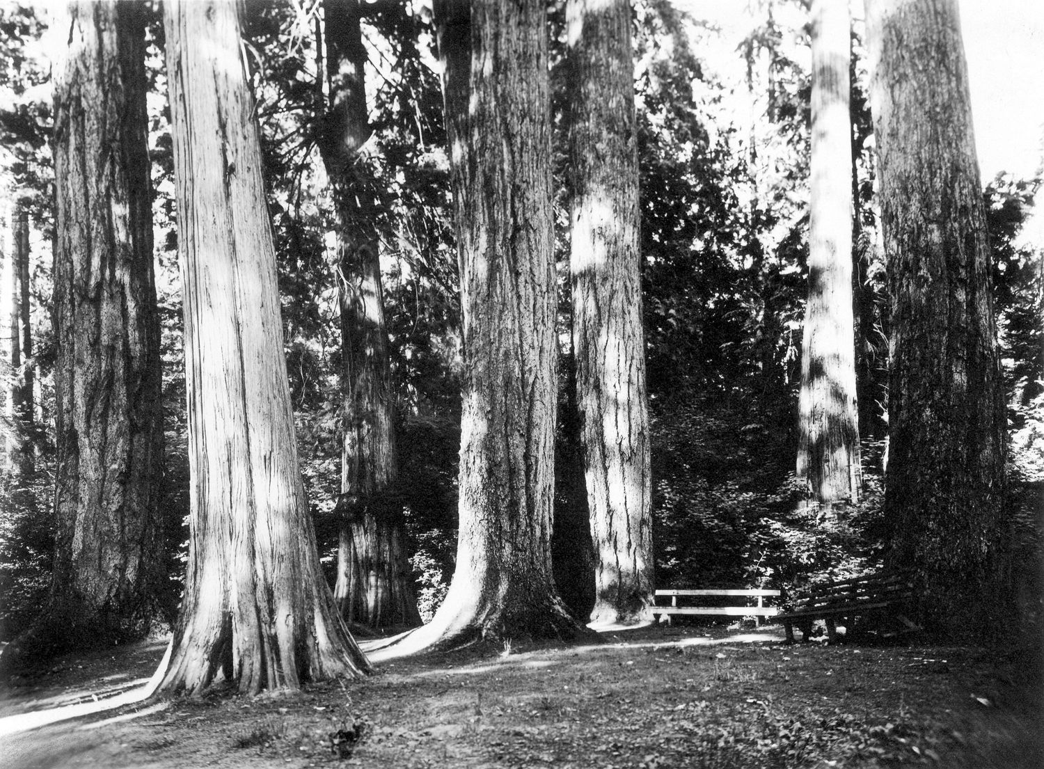
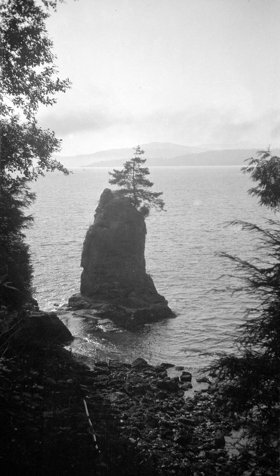
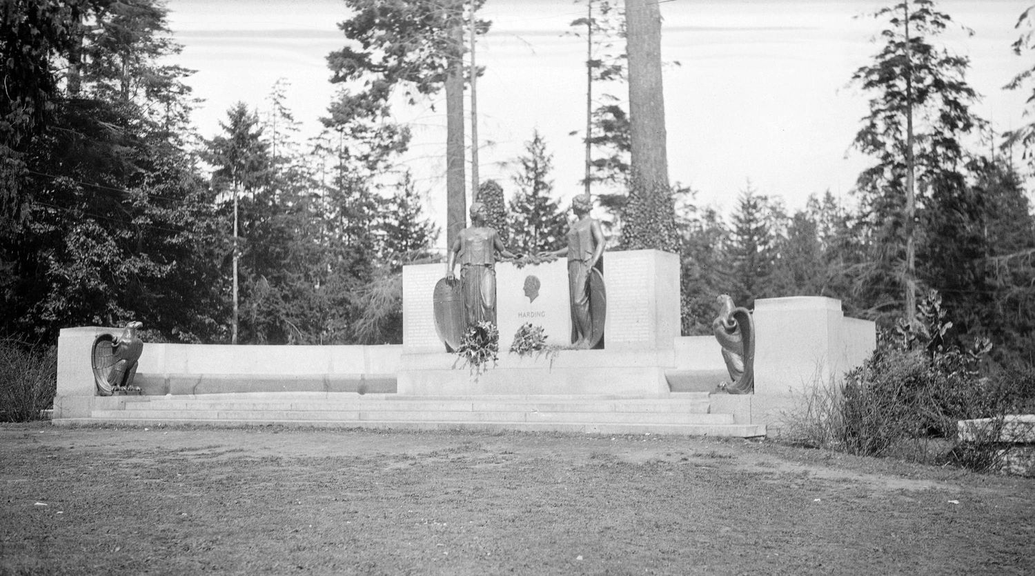
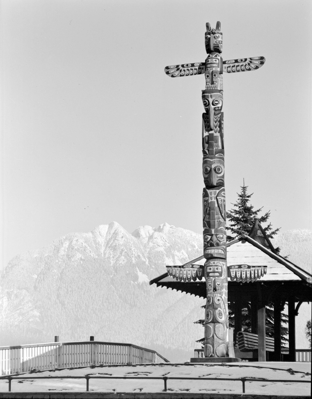
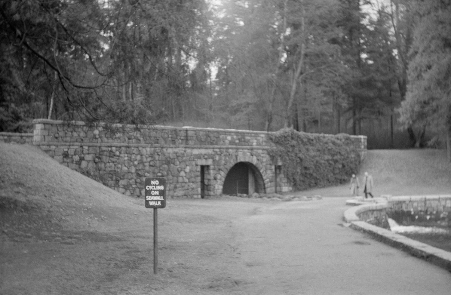
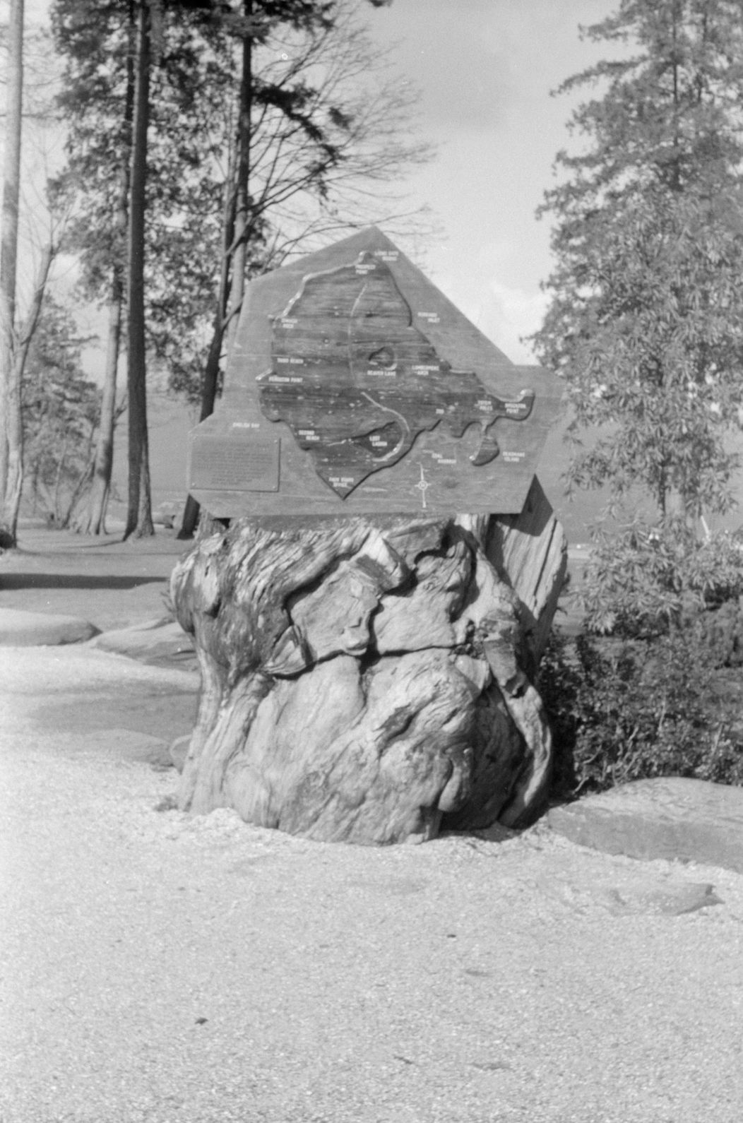
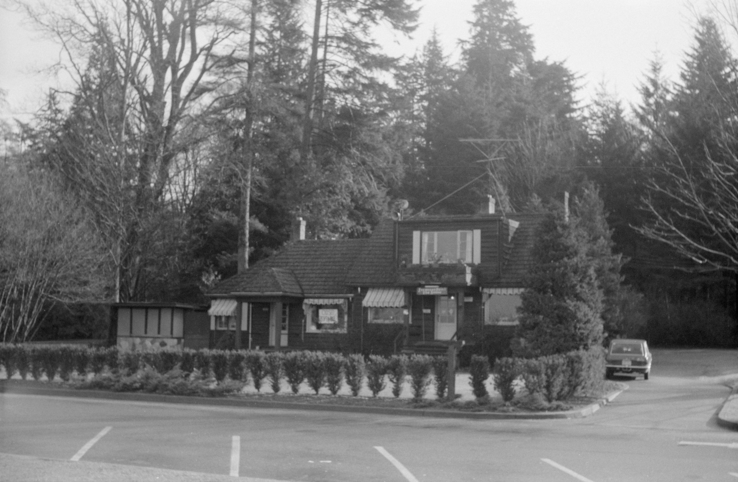
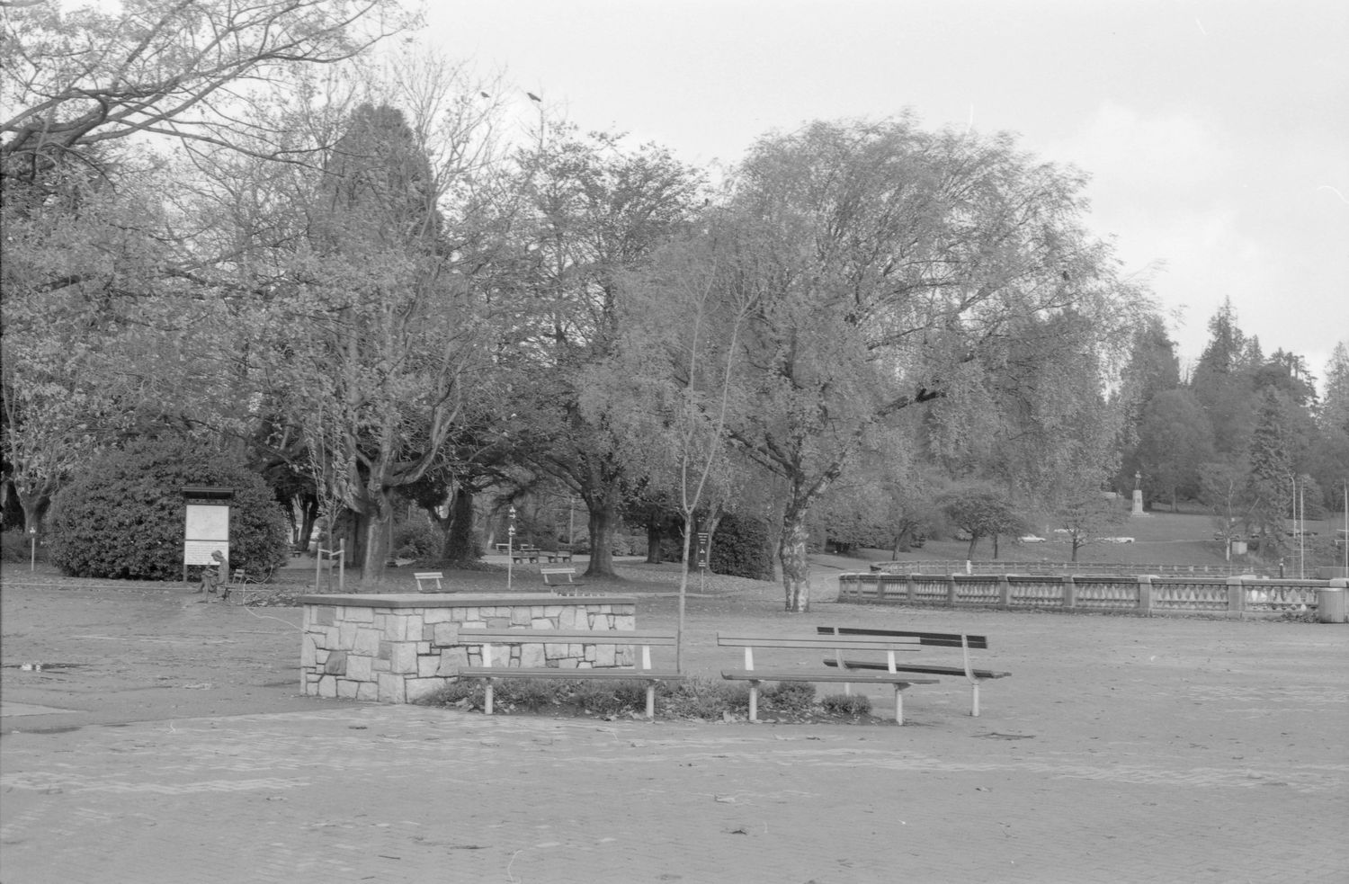
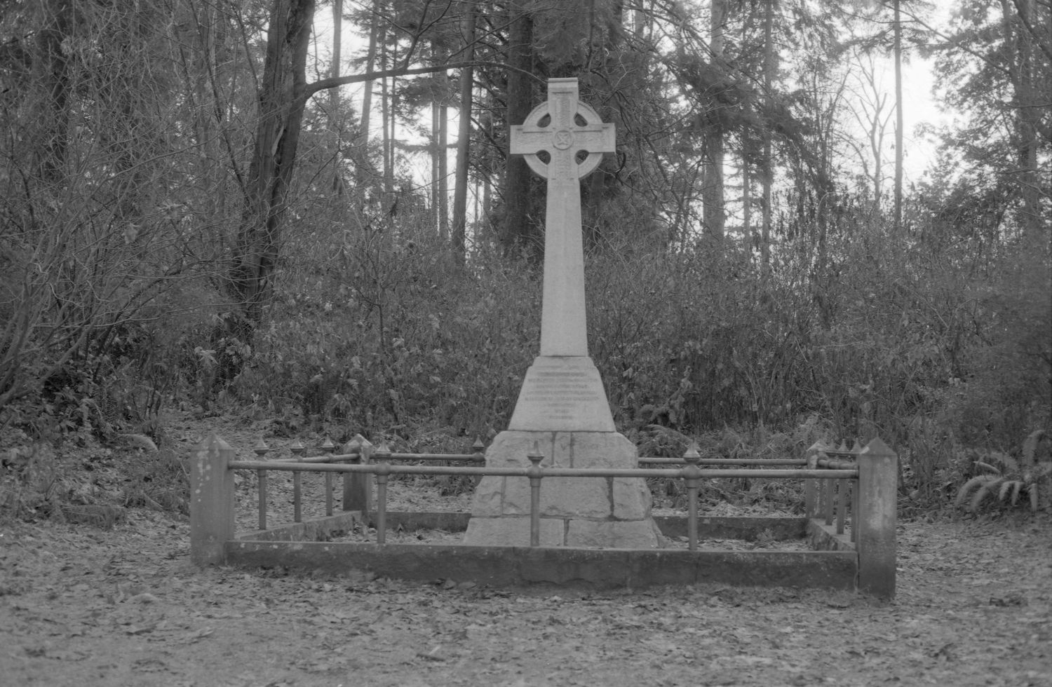
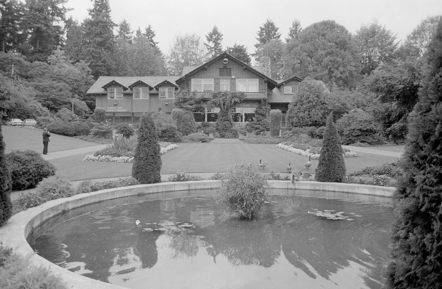
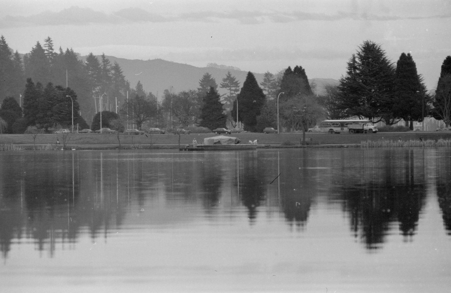
One of the largest urban parks in Canada, and quite possibly the most well known, is Stanley Park in Vancouver. Although it is a popular and highly used park today, the area has a colourful history. The peninsula where the park is located was the traditional territory of Coast Salish First Nations, include the Musqueam, Squamish, and Tsleil Waututh. Their use of the area, as a home and ceremonial site, dates back more than 3,000 years. The largest settlement was X̱wáýx̱way (pronounced Whoi Whoi), located near the present-day Lumberman’s Arch, was home to hundreds of people. European settlers laid claim to the peninsula in 1859 as a military reserve and the whole site was transferred to the City of Vancouver in 1871 to be used as a public park. All inhabitants were evicted from the area in 1887 so the park’s first road could be built. Stanley Park, named after Canada’s sixth governor general, Frederick Arthur Stanley, officially opened on September 27, 1888. We hope you enjoy this stroll through the past.
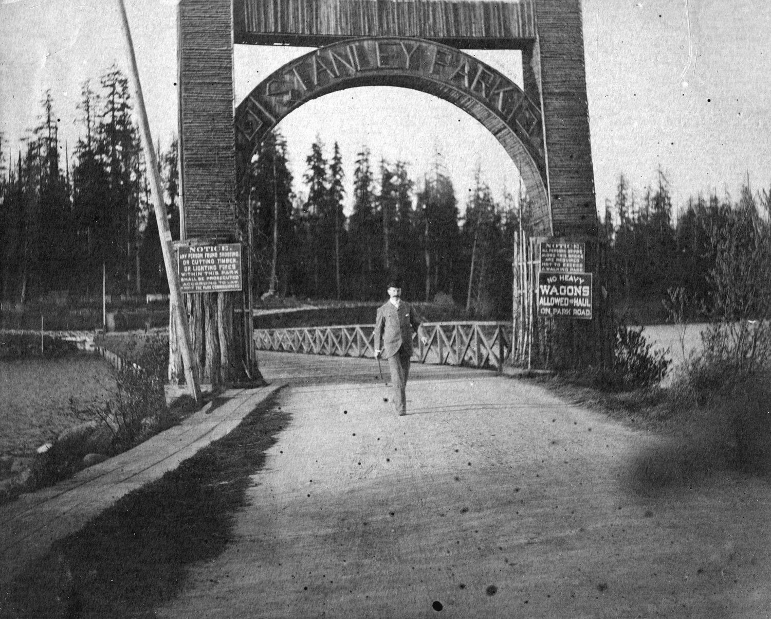




For similar stories, please see these previous posts including, Charitable Choices: Stanley Park Ecological Society, Old Photographs of Vancouver’s Snowy History, and Old Photographs of Beaches in Vancouver.
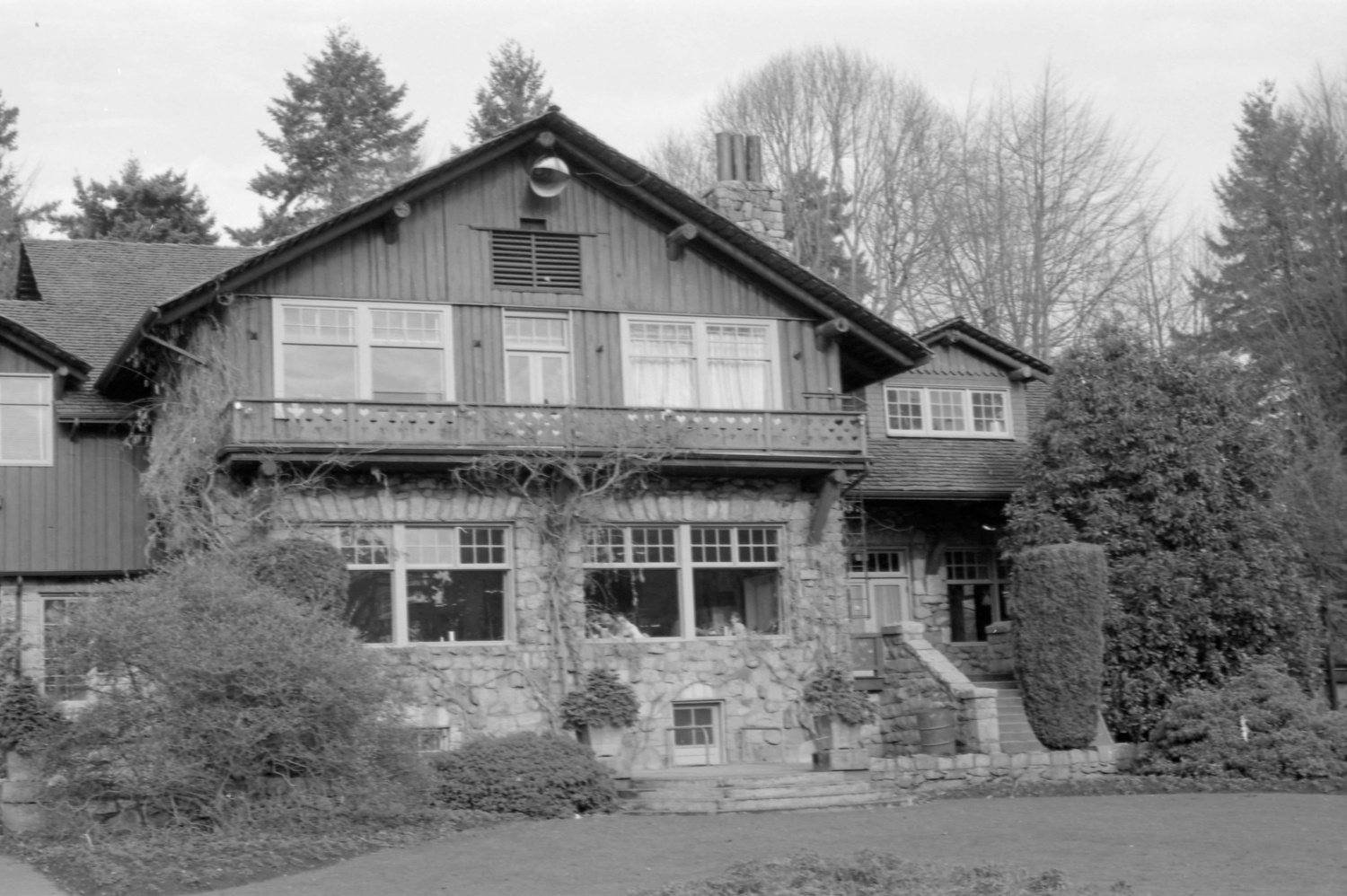
The photos above were collected from the City of Vancouver Archives. If you’re interested, additional information can be found for each photograph on their website. Stay tuned for additional posts featuring historical photos from Vancouver, British Columbia, and across Western Canada. We’d love to know what you think in the comment section below.

