One of the best ways to compare development in a city or of a general landscape is by comparing aerial photography of the past with future images of the same area. A few years ago I remember Google Earth was promoting their 30 year timelapse using images from space where one could visit any point on earth and compare the images from each year over that time period to see the rapid changes to a landscape.
Please visit the Vancouver Archives to find more amazing old photographs from the city’s past.

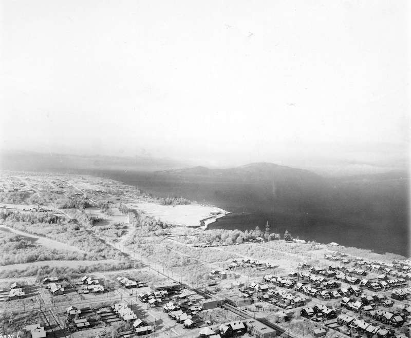
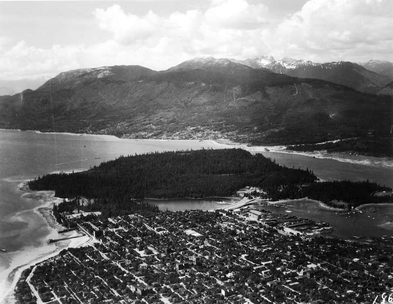
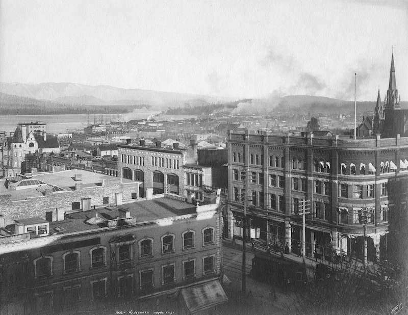
The Vancouver Archives have a lot of amazing aerial images from Vancouver over the years with some dating back to the late 1800s. Some of these images would make great frames in one’s home or office and most of the images are licensed under public domain. In this gallery we showcase some of our favourite old aerial photographs of Vancouver from the years 1890-1930. We have shrunk these images down to keep image sizes low but the full quality, large images are beautiful and can be found using the description we took from the website.
You can visit the Vancouver Archives website HERE.
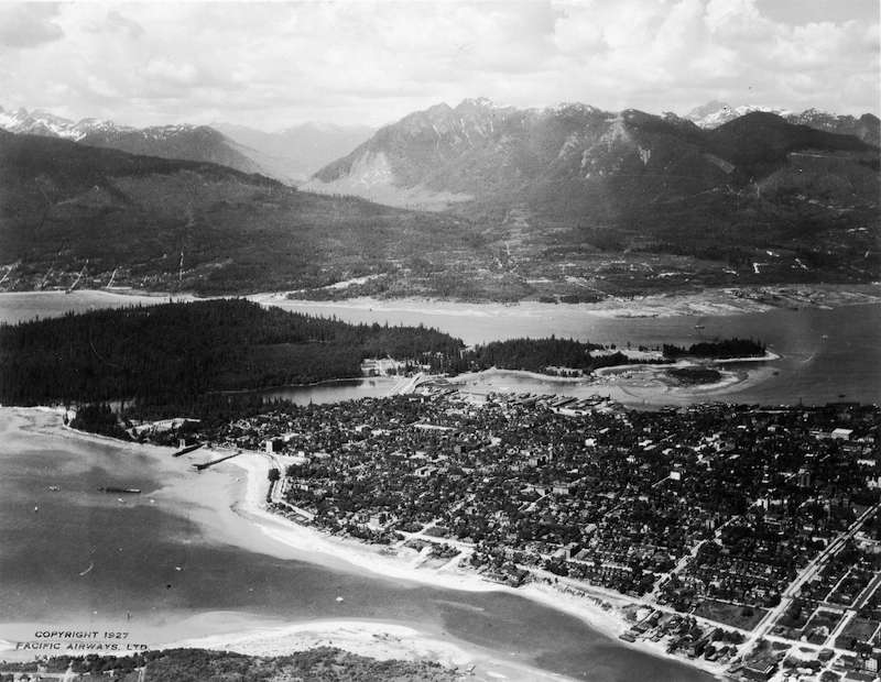


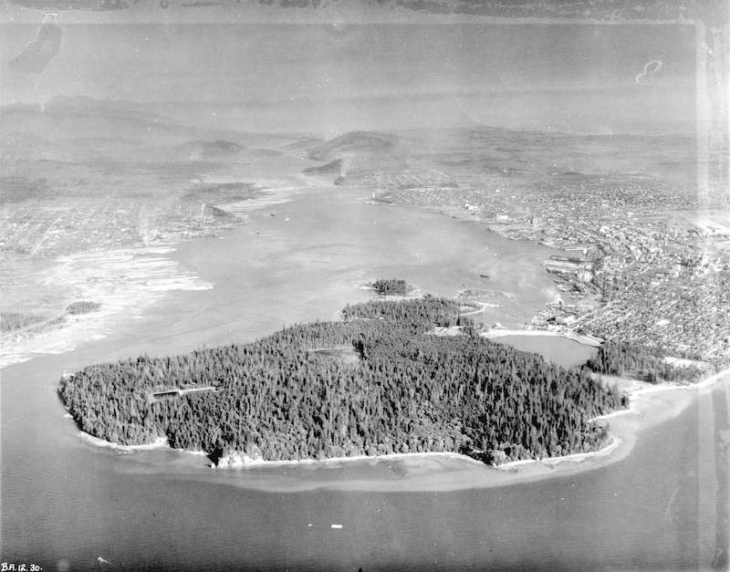
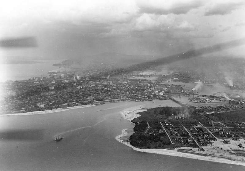
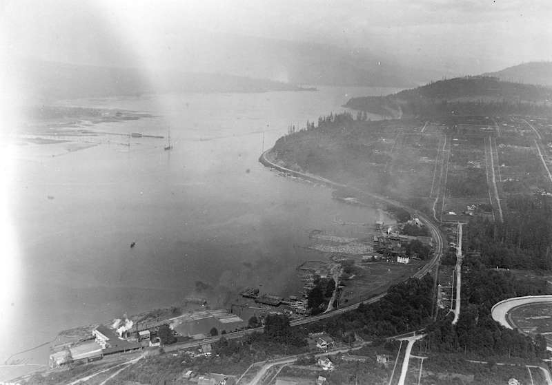
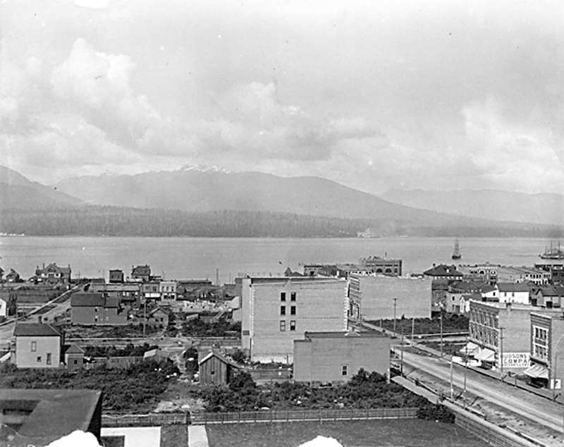
![1924-Aerial view [of Coal Harbour] taken about 1924](https://vancouverguardian.com/wp-content/uploads/2022/03/1924-Aerial-view-of-Coal-Harbour-taken-about-1924.jpg)
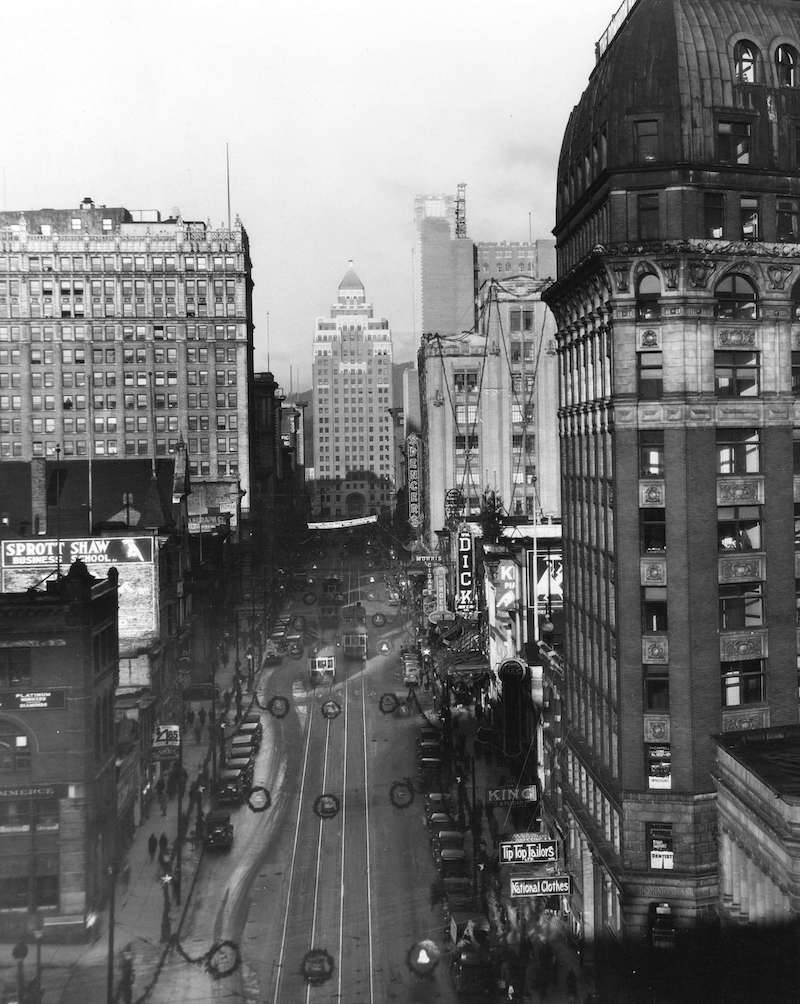
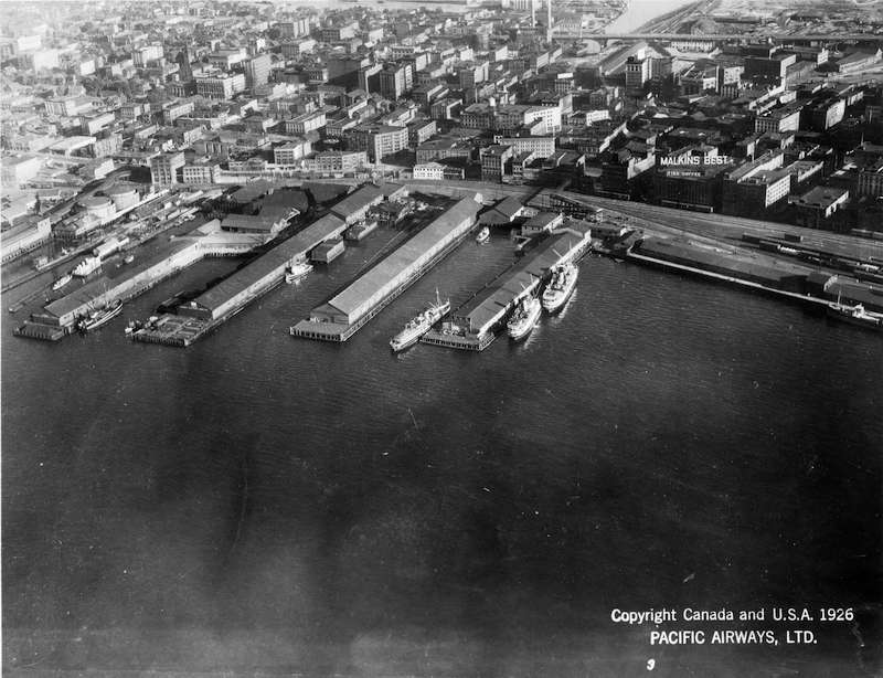
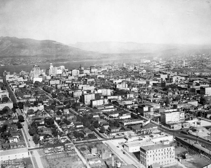
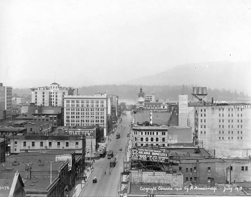
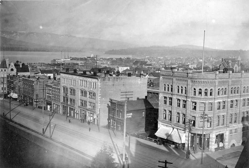
![1923-Vancouver from roof garden of [David] Spencer's [Department] Store](https://vancouverguardian.com/wp-content/uploads/2022/03/1923-Vancouver-from-roof-garden-of-David-Spencers-Department-Store.jpg)


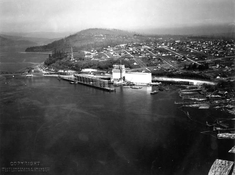
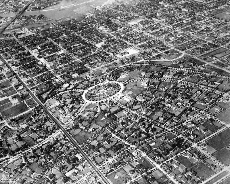
![1919-Race Track - [Hastings] Park](https://vancouverguardian.com/wp-content/uploads/2022/03/1919-Race-Track-Hastings-Park.jpg)
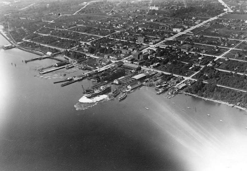

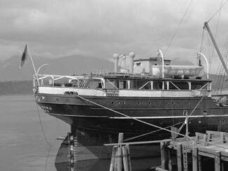
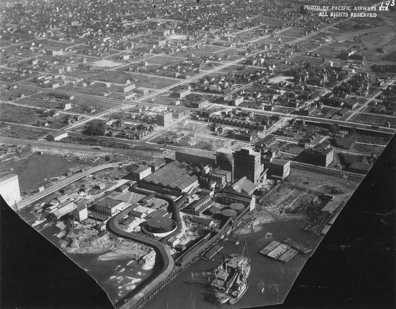
![1919-[Looking East along North Shore of Burrard Inlet showing] Lyall Shipyards](https://vancouverguardian.com/wp-content/uploads/2022/03/1919-Looking-East-along-North-Shore-of-Burrard-Inlet-showing-Lyall-Shipyards.jpg)


Please visit the Vancouver Archives to find more amazing old photographs from the city’s past.